
Current Weather in Curaçao – Live Updates & Forecast
Want to know what the weather in Curaçao is like right now? On this page you’ll find the latest live weather updates including temperature, sunshine, wind conditions, and chances of rain. Curaçao is known for its consistently warm climate, but daily variations such as cloud cover, trade winds, or short tropical showers can influence your plans. With our real-time weather data and accurate forecasts, you’ll be fully prepared whether you’re heading to the beach, exploring Willemstad, or planning a day trip around the island.
Today’s weather in Curaçao; Temperature, Precipitation, Rain Chance, Wind, Humidity & Pressure
Wind: 17mph E
Humidity: 73%
Pressure: 29.89"Hg
UV index: 0
84°F
82°F
82°F
82°F
88°F / 81°F
88°F / 79°F
88°F / 81°F
88°F / 81°F
In Curaçao, as the evening continues, a partly cloudy sky is anticipated. The lowest temperature will be a temperate 80.6°F. Sunrise was at 06:19 and sunset will be at 19:05; the daylight will last for 12h and 46min.
Weather forecast for tomorrow
Tomorrow, partly cloudy skies will persist, making for a mix of sun and clouds. Modest temperature shifts from a high of a humid 87.8°F to a low of a temperate 80.6°F are anticipated. The maximum heat index, which combines air temperature and relative humidity, is estimated at a sizzling 100.4°F. Take into consideration that the heat index values are calculated for shade and light wind conditions. Exposure to direct sunshine can increase heat index values by up to 15 Fahrenheit degrees. July's usual high of 89.4°F is forecasted to be matched by the day’s maximum temperature. Sunrise will be at 06:19 and sunset at 19:05; tomorrow's daylight will last for 12h and 46min.
Long term weather forecast
During the upcoming ten-day period, a combination of gloomy and rain-soaked weather is expected. Rainfall is anticipated on Saturday through Monday, Wednesday through next Friday. The days with the most rainfall will be Sunday and Monday, with minimal precipitation of 0.08". In the coming days, the highest temperature will be a persistent 87.8°F, while the overnight low will be also nearly unchanged, as night temperatures will lie between 78.8°F and 80.6°F. Combining with the humidity, the maximum feel-like temperature may increase substantially and vary between a fiery hot 100.4°F and a torrid 102.2°F.
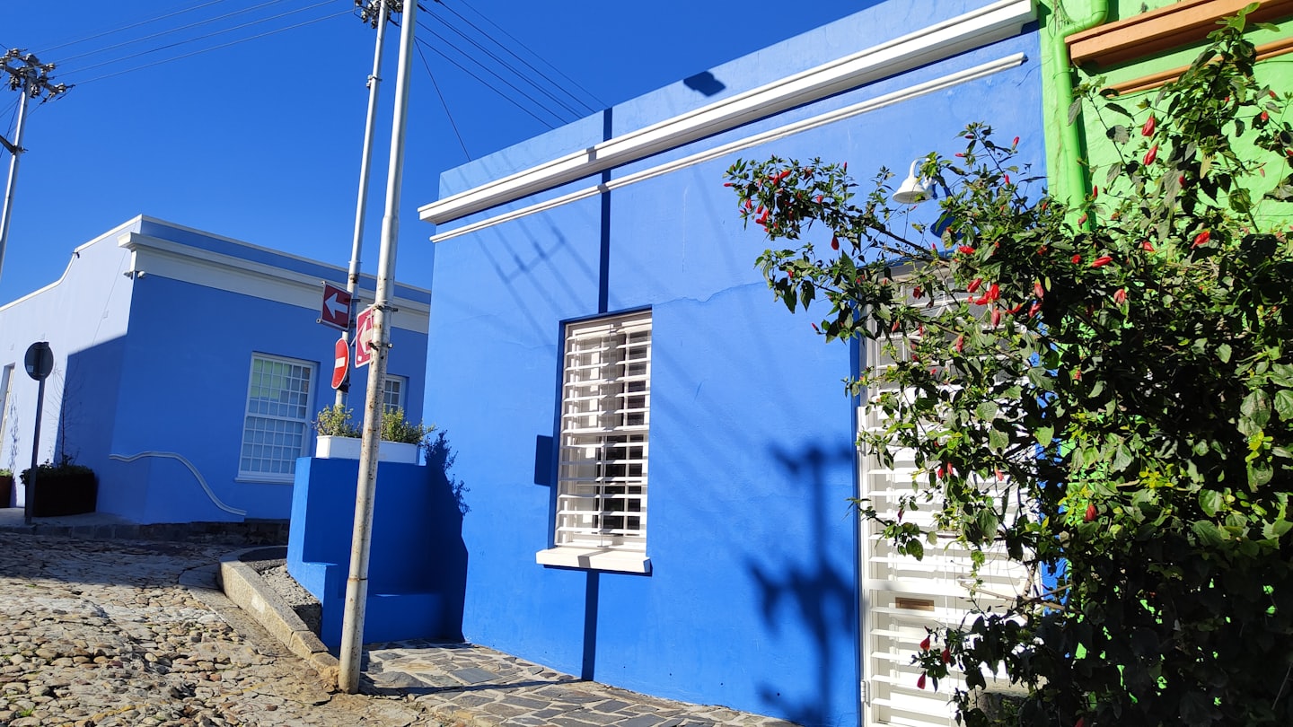
Seasonal patterns
Learn the basics of the climate and seasons in Curaçao
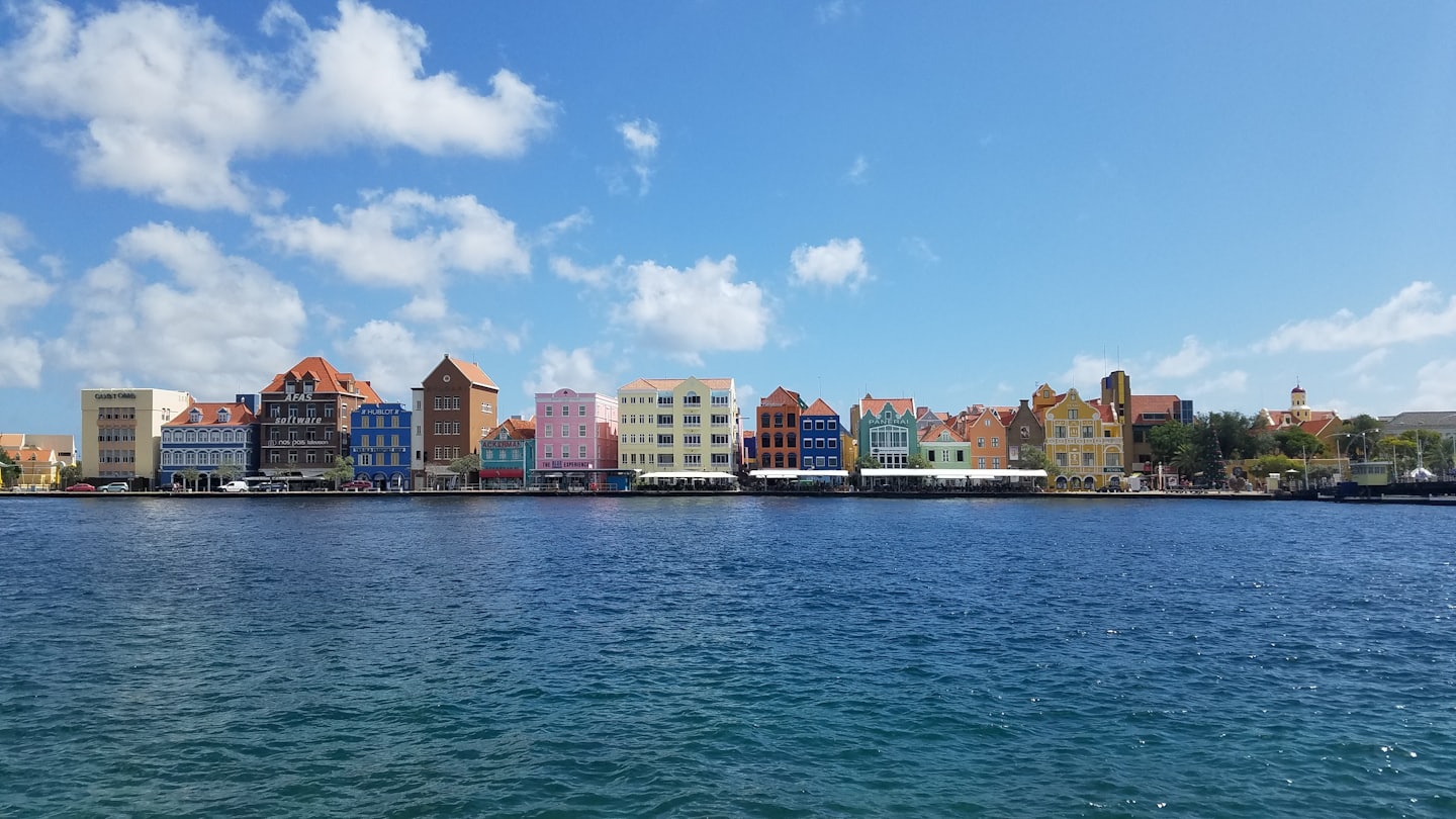
Monthly weather data
Discover the detailed monthly weather trends and their impact on the island.
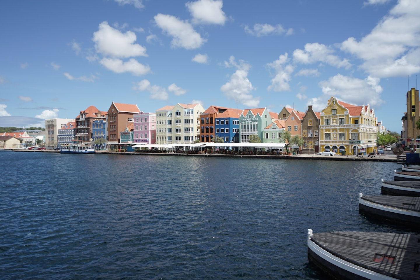
Official weather services
Access to reliable, up-to-date weather information from official sources.
Reliable sources for the weather in Curaçao
Here you will find an overview of official weather information and climatological data that we use.
Meteorological Department Curacao
Weather warning. Radar. Satellite (InfraRed). Forecast. Weather Forecast for Curaçao and surroundings
Tropical Storm Risk (TSR)
Tropical Storm Risk (TSR) offers a leading resource for predicting and mapping tropical storm activity worldwide.
National Hurricane Center
The National Hurricane Center (NHC) provides up-to-date information on tropical storms and hurricanes in the Atlantic and Eastern Pacific. It offers forecasts, alerts, and safety guidance to help you stay prepared.

Discover the unique climate of Curaçao
Here you will find the most important weather data and insightful climate statistics.
75-80%
Average humid
Humidity levels are relatively high, averaging 75–80%. However, the constant trade winds make the climate feel comfortable.
24°C (75°F)
Lowest night temperature
Curaçao never gets cold. The lowest nighttime temperatures are around 24°C (75°F).
26–29°C (79–84°F)
Water temperature
The sea stays warm all year, averaging 26–29°C (79–84°F), perfect for swimming and diving.